27
Dec
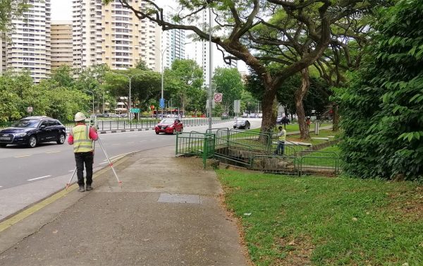
Topographical Survey
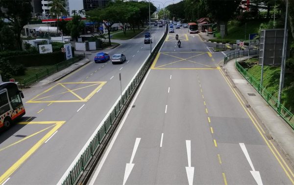
Mapping of land features for development, planning and land use purposes.
Mapping of land features for development, planning and land use purposes.

Survey of land and strata lots.
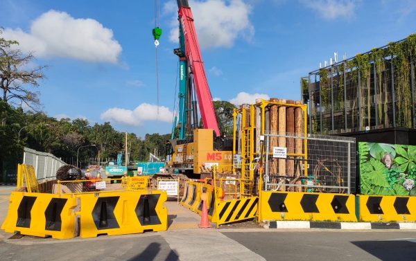
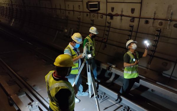
Engineering survey for construction of buildings, roads, bridges, tunnels, drainage and sewerage lines etc.
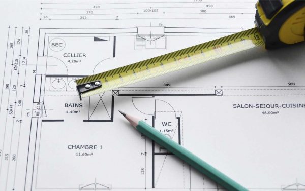
Measured survey for buildings and structures, produce plans, elevations or sections. Compute GFA or NLA.

Dimension control survey for piping and other structures.
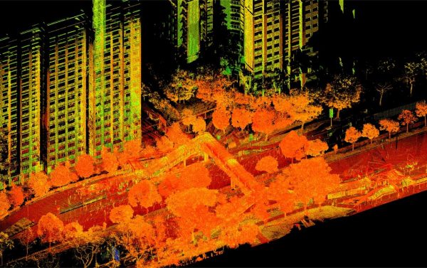
Terrestrial laser scanning.
GIS data collection and conversion for LTA GIS data hub, NParks and HDB GIS.
GIS data collection and conversion for LTA GIS data hub, NParks and HDB GIS.

Deformation monitroing for buildings, structures and utilities.
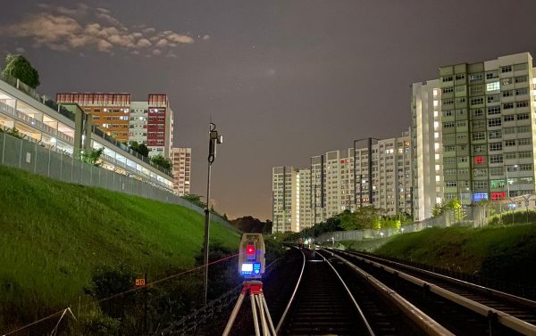
Hydrographical Survey, tunnel geometry survey, flatness and levelness checking, verticality checking and volume computation etc.